Once again, I've fallen behind on this blog. Sorry for taking so long to post. We were still on the Carretara Astral when Thanksgiving rolled around. We headed south, made a few pit stops in Chile, then crossed back over into Argentina. We got back on the infamous Ruta 40 and stopped several times along the way before crossing back into Chile, which is where we are in Puerto Natales. We want to trek into Torres del Paine NP, a UNESCO BioReserve, but the weather has been windy, raining and cold, so riding, hiking and camping hasn't been our priority. Hopefully the weather turns to our favor but the forecast doesn't look like that is likely any time soon. On the bright side, I had time for this blog and couldn't think of any good excuses to put it off. Onward...
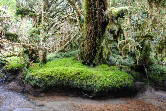
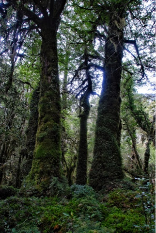
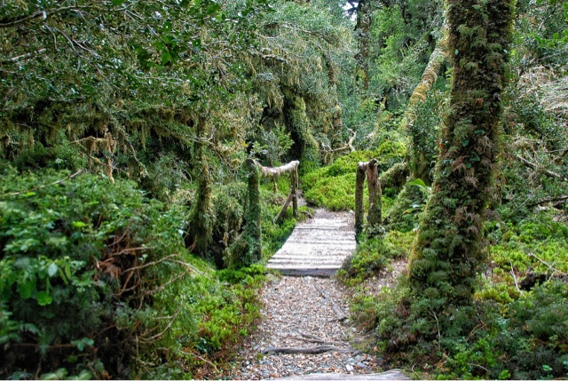
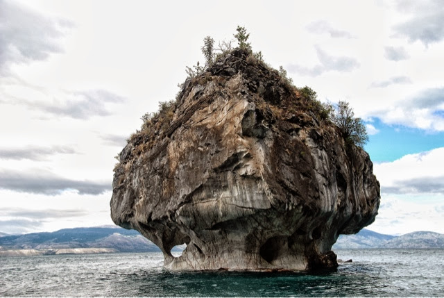
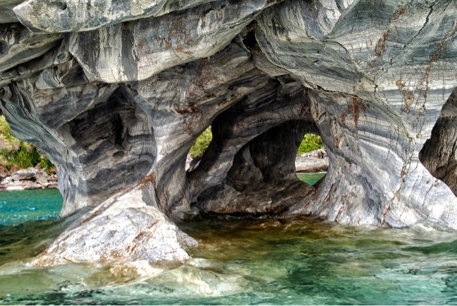
Thought I would do something different here, What is this?


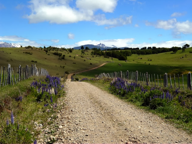
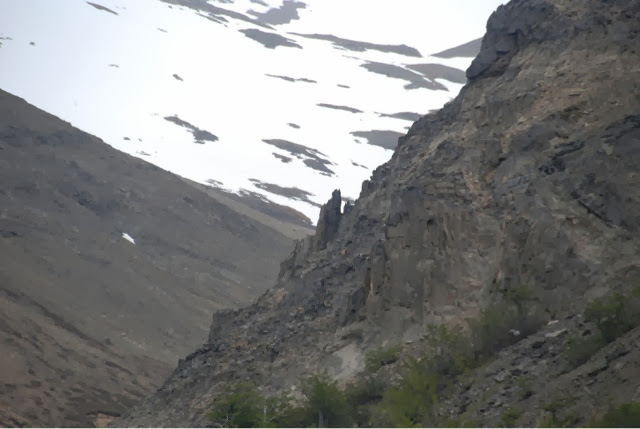
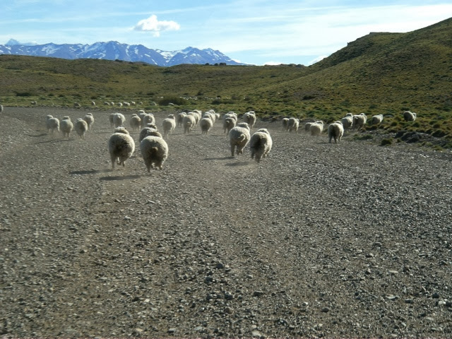
We took a little side trip down a dirt road outside of Coihaique, Chile to check out some farmland.


and this monolith. I think the locals call this the muffin. This thing is immense, the picture doesn't do it justice.

Purple and blue Lupines are everywhere


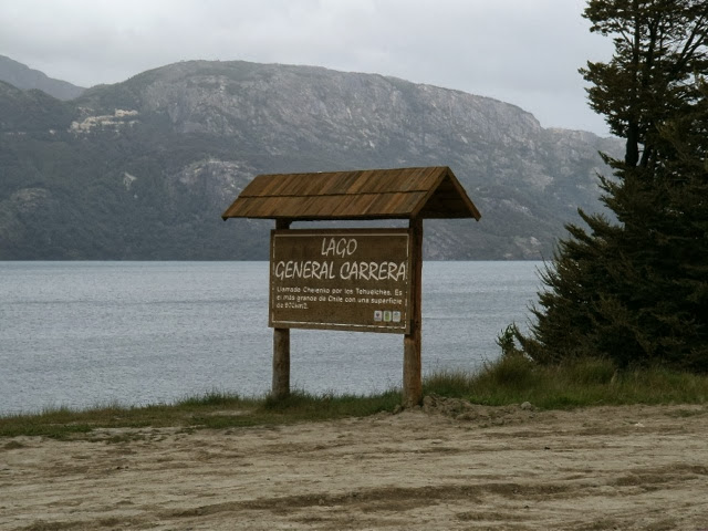
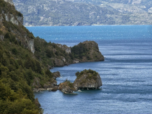
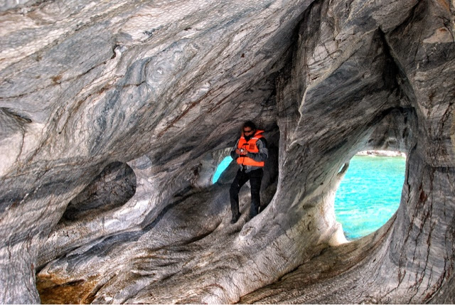
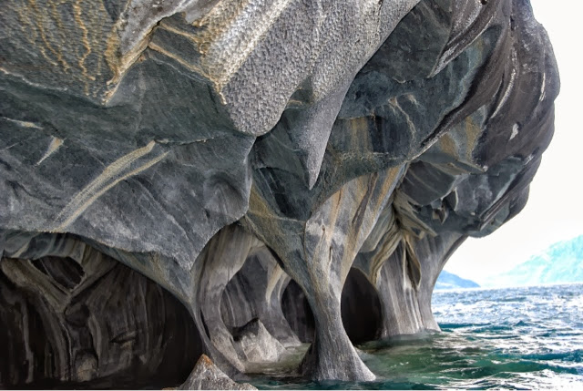
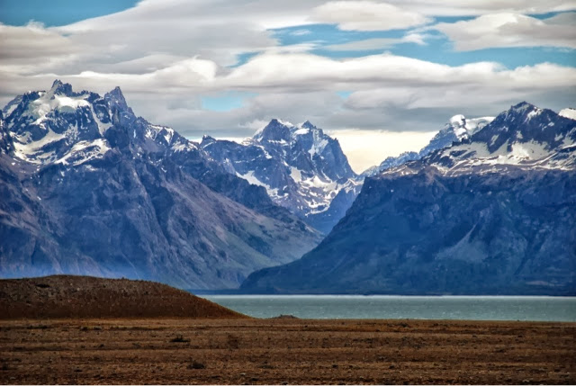
We eventually came upon this lake, In Chile it is known as Lago General Carrera, in Argentina, the other half is known as Lago Buenos Aires. Together it is the second largest lake in South America after Lake Titicaca. We stopped in Rio Tranquillo for a few days to rest.
we took a thirty-five mile dirt road out to a river to see if we could catch a boat out to a glacier, but it turns out the boat needs to be booked in advance from the town.


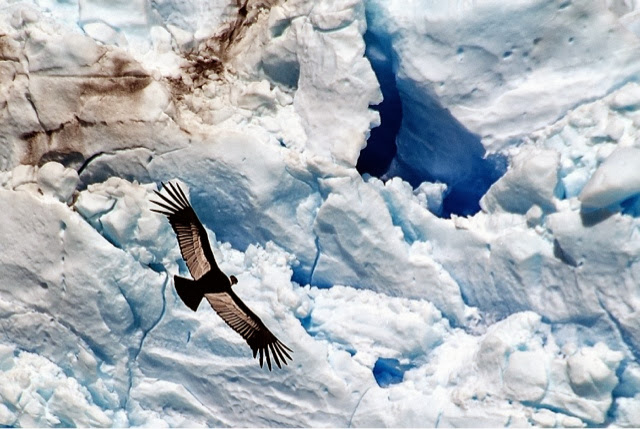
A couple of condors

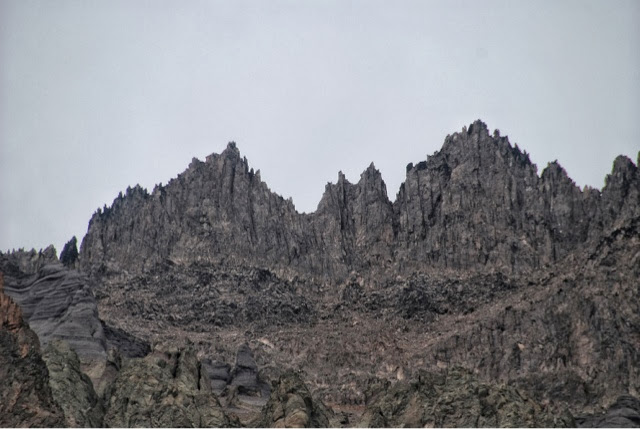
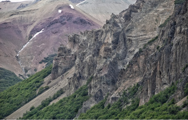
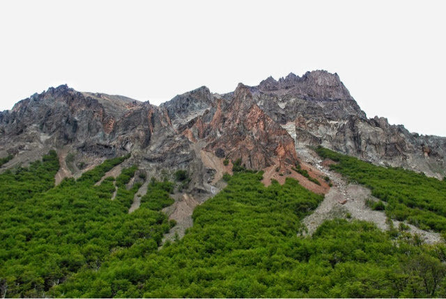
The next few pictures are some glaciers high up in the mountains.


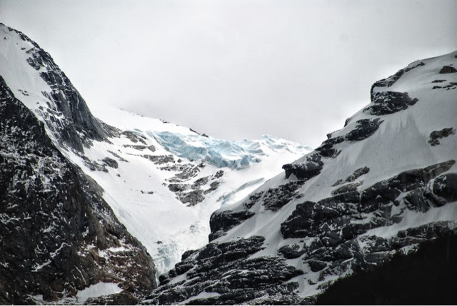


These things are actually dimpled like golf balls but still appear smooth.


Thanks to Linde, we were treated to a longer tour and a better price when we talked to the owner of the boat.
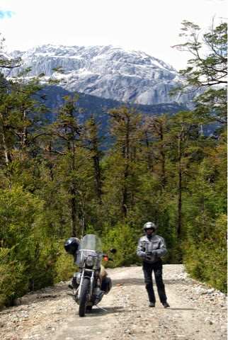
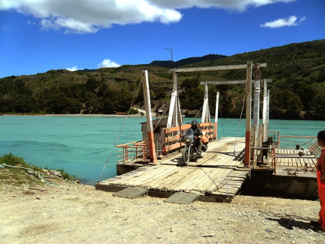
The next day we headed towards Cochrane in order to cross the border near there. Unfortunately the road was closed for three hours due to road construction. The flagger told us about a detour over the mountain so away we went. 15 miles of dirt road ended at this river. We were pleasantly surprised to catch a free ferry across.
We stopped in Cochrane long enough to eat and get gas then headed east toward the Argentine border through Valle de Chacabuco, the future Patagonia NP.
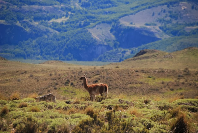
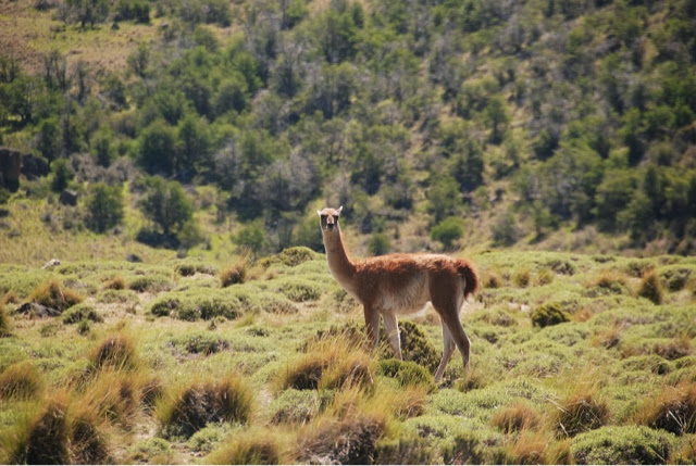
Lots of Guanacos here

After several hours of the worst dirt road in Chile, a border crossing and then another two hours of dirt, we made it back onto the famous Ruta 40. A smooth ribbon of asphalt... For a while.

We met Jurgen, from Austria heading in the same direction, so we rode together to El Chalten, Argentina.


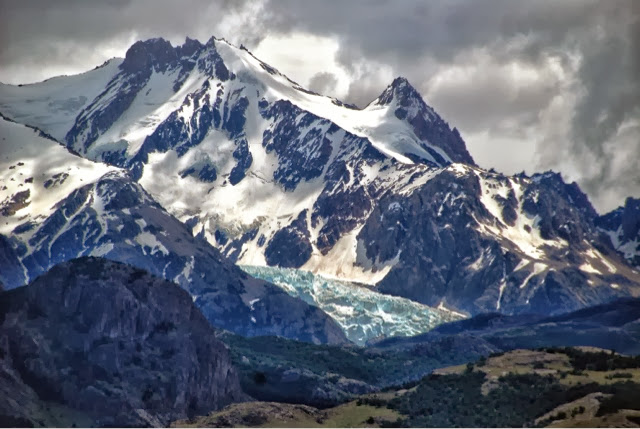
Hard to see, but that is a glacier on the lake. Actually this is Viedma Glacier, the largest glacier in South America
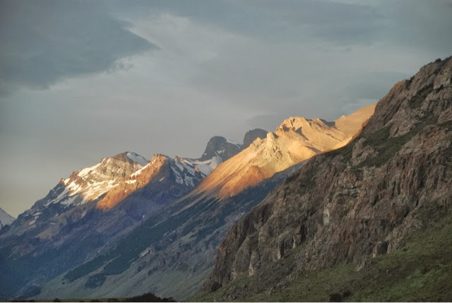
A little closer to El Chalten, Mount Fitz Roy comes into view.


There is a car at the far end of the road for an idea of how massive this is
We took a boat out to Viedma Glacier similar to the one in this picture. This glacier doesn't seem that big but it is apparently a couple of hundred miles long


They dropped everybody off on the land, glacier is around the corner to the left.


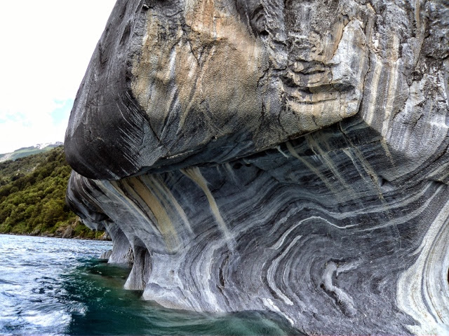
Apparently this was all under ice at one time. This has been grooved and scrubbed smooth by ice.
We were lucky today, this glacier only moves about three feet a day so it doesn't calve very often.
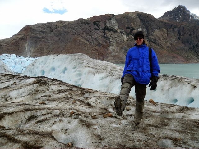
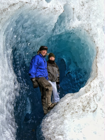
We all strapped on some crampons and took a two hour hike on the glacier
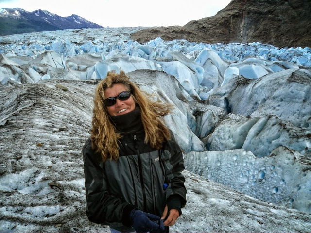
Here we are in an ice cave on the glacier, this is where the first picture in the post was taken

After the hike, everyone was given a drink, complete with ice from the glacier.

Sunset from hostel window. This is around 10:30 PM, 18 hours of daylight

Leaving El Chalten heading south for El Calafate

Local gas station in El Chalten

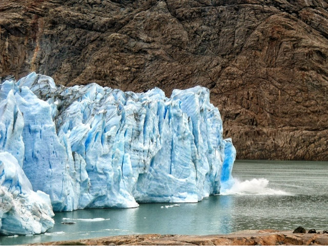
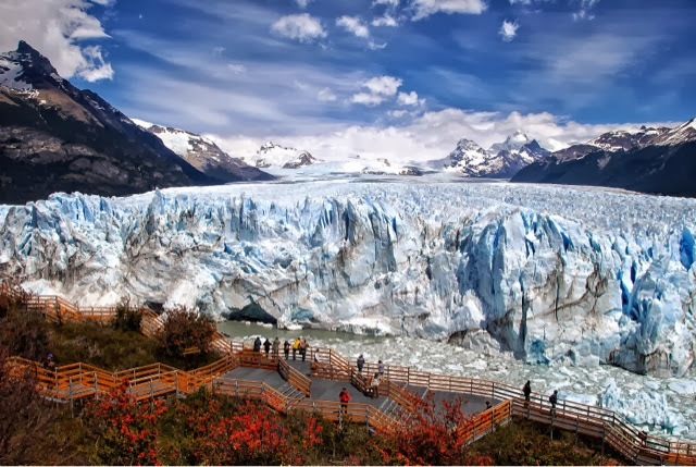
We came to El Calafate to visit this glacier. Now THIS is a glacier, 150 feet high, 1/2 mile wide


Amazing photos - we've got to get here sometime!
ReplyDeleteJay and Conor
I know the solution for one of the photos. It's the Marble Caves in Puerto Rio Tranquillo. :-)
ReplyDelete